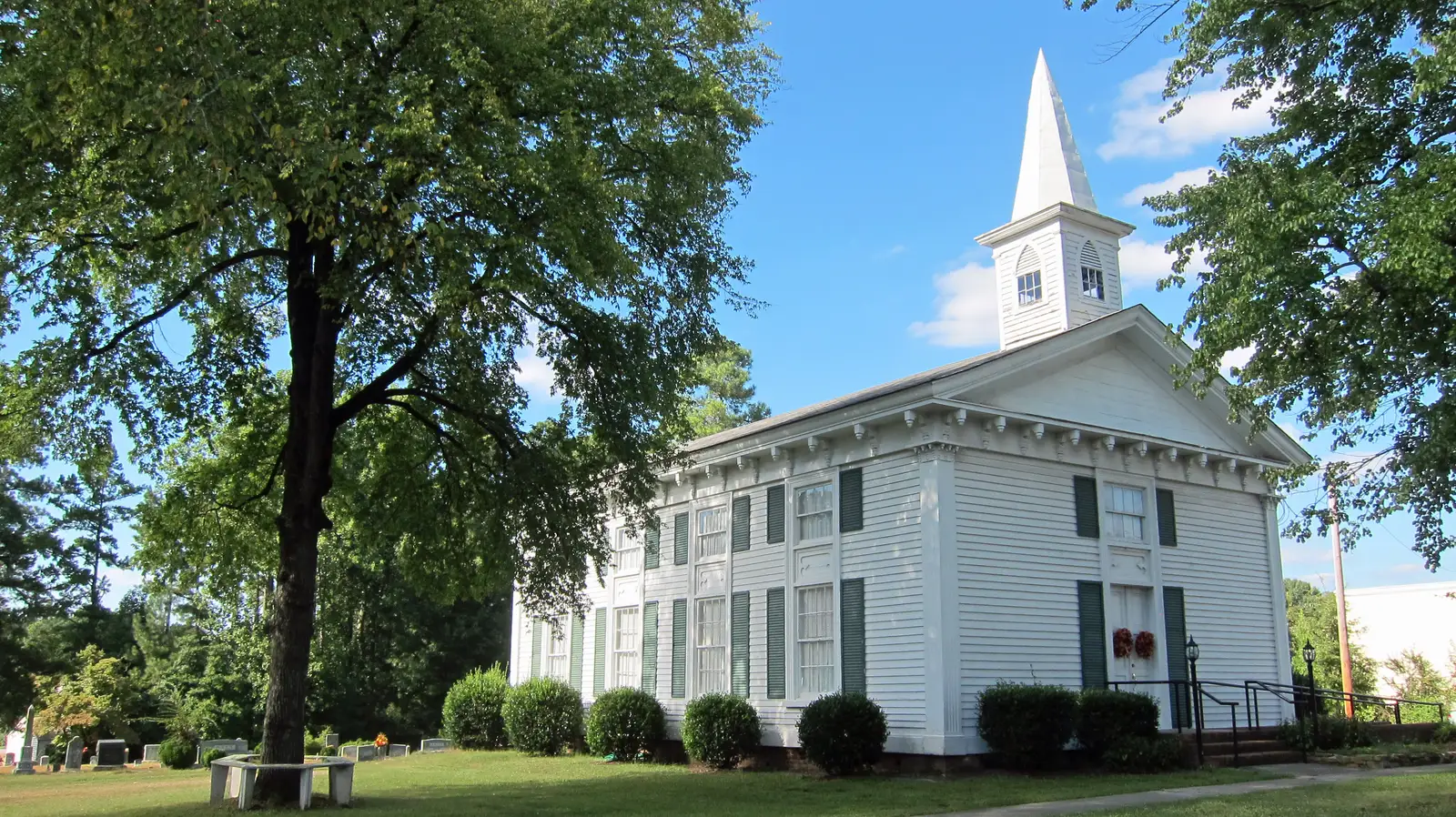
The South Main Street corridor and old Forestville, between downtown and U.S. 1, with the WRX bus and Tyler Run Park. Zones split; ZIP code 27587.
Last checked Oct. 12, 2026. Sources: the Town of Wake Forest’s South Main Street Corridor Study and park pages, OpenStreetMap place and neighborhood names, the Wake County Public School System’s current base attendance areas, the N.C. Department of Public Instruction’s 2025-26 accountability data, GoTriangle schedule data and Zillow Research.
South Main Street is the busy road between downtown Wake Forest and U.S. 1, and the neighborhoods on either side of it. Near its middle is Forestville, the old crossroads that gave Forestville Road its name. The corridor has the town’s biggest cluster of supermarkets, Wake Forest Middle School and the WRX express bus to Raleigh.
What this means for you
- Zoned high school: split between Heritage High (54% of points) and Wake Forest High (46%). Check an address with the district’s base school lookup.
- Home value: $508,282 in ZIP code 27587 in August 2026, according to the Zillow Home Value Index.
- Nearest U.S. 1 exit: Exit 124, N.C. 98 (Dr. Calvin Jones Highway), about 2.9 miles by road.
Part of our Wake Forest neighborhoods guide.
Where it is
The town’s South Main Street Corridor Study covers South Main Street (U.S. 1A), a state-owned road, from Capital Boulevard (U.S. 1) to Dr. Calvin Jones Highway (the N.C. 98 Bypass), near the historic district. The study says the road is one of the town’s main connections, that crashes are high, and that it has only short stretches of bike lane between Rogers Road and N.C. 98 and sidewalks along parts of it. The Board of Commissioners approved the study in July 2024; its concept design covers access, intersections and walking and biking. The full study is online.
On OpenStreetMap, Forestville is a named place on South Main Street near the N.C. 98 Bypass. The neighborhoods we used to define this area are the ones OpenStreetMap names along the corridor, among them Cimarron, Windsor Park, Spring Park, Pemberley, Reynold’s Mill, Holding Ridge, Pineview Estates, Tyler Run, Orchard Park, Green Acres and Home Gardens. About 96% of the points we checked in them were inside the town limits on OpenStreetMap’s town boundary. The area is in ZIP code 27587.
The town is studying drainage in Home Gardens, near Wake Drive and Forest Road, where water collects around homes, according to its project page; a preliminary engineering report was published in July 2026.
Schools
We checked 153 points across the corridor’s neighborhoods against the Wake County Public School System’s current base attendance areas.
| Level | School | Share of points | At grade level, 2025-26 | Growth |
|---|---|---|---|---|
| Elementary | Forest Pines Drive Elementary | 73% | 54.3% | Exceeded |
| Elementary | Wake Forest Elementary | 27% | 67.4% | Met |
| Middle | Wake Forest Middle | 100% | 52.5% | Not met |
| High | Heritage High | 54% | 67.3% | Met |
| High | Wake Forest High | 46% | 66.5% | Exceeded |
“At grade level” is the share of state tests at grade level or above in the state’s 2025-26 accountability data; “growth” is whether students gained as much as the state expects in a year. Wake Forest Middle is on the corridor at 1800 S. Main St. in the federal school directory. Forest Pines Drive Elementary has a Raleigh address. Because the high school zone splits here, check an address in the base school lookup. More in our schools guide.
Home values
The Zillow Home Value Index for ZIP code 27587, which covers all of Wake Forest, was $508,282 in August 2026, down 0.8% from $512,457 in August 2025. Zillow’s figure for the town was $507,240. The index is a modeled typical value for the middle third of homes, not a sale price, and it is not specific to this corridor. More in our home prices guide.
Parks and trails
- Tyler Run Park, 830 Pineview Drive: nine acres with a baseball field, batting cage, basketball and bocce courts, a playground for ages 2 to 5 and a greenway trail, according to its town page.
- Kiwanis Park, 400 E. Holding Ave., at the north end near the library, with a playground, picnic shelter and paved greenway trail, according to its town page.
More in our parks and trails guide.
Getting around
- U.S. 1 (Capital Boulevard): Exit 124, N.C. 98 (Dr. Calvin Jones Highway), about 2.9 miles by road, and Exit 125, N.C. 98 Business (Durham Road), about 3.7 miles. South Main Street also meets Capital Boulevard at its south end. Exit numbers and names are from NCDOT’s interchange inventory.
- Interstate 540: the Capital Boulevard interchange, Exits 16 and 17, about 8.9 miles.
- Downtown and Town Hall: about 1.4 miles by road.
- Raleigh-Durham International Airport: about 20 miles by road.
- Bus: GoTriangle’s WRX express to Raleigh runs along South Main Street, with stops at N.C. 98, Rogers Road (at Wake Forest Middle and at the Factory), Ligon Mill Road, the Aldi store and Wake Drive, according to GoTriangle’s schedule data. Go Wake Forest on-demand rides: 984-342-2319.
Distances are measured on the OpenStreetMap road network from Forestville; they are distances, not drive times. More in our getting around guide.
Groceries and everyday stores
From OpenStreetMap:
- Supermarkets: Lidl, 1120 S. Main St.; Walmart Supercenter, 2114 S. Main St.; ALDI, 2132 S. Main St.; Wegmans, 11051 Ligon Mill Road.
- Pharmacies: Village Pharmacy, 900 S. Franklin St.; Walgreens, Rogers Road.
- Shopping centers: Franklin Center, South Franklin Street; Shoppes of Heritage, Rogers Road.
Frequently asked questions
What high school is the South Main Street area of Wake Forest zoned for?
It splits. Of 153 points we checked in the neighborhoods along the corridor, 54% were zoned for Heritage High and 46% for Wake Forest High. All were zoned for Wake Forest Middle.
Where is Forestville in Wake Forest?
Forestville is an old crossroads community on South Main Street near the N.C. 98 Bypass, mapped as a place on OpenStreetMap. Forestville Road and Forestville Baptist Church carry its name.
Does a bus run on South Main Street in Wake Forest?
Yes. GoTriangle’s WRX express to Raleigh stops along South Main Street at N.C. 98, Rogers Road, Ligon Mill Road and Wake Drive, according to GoTriangle’s schedule data.
What is the South Main Street Corridor Study?
It is a town study of South Main Street, U.S. 1A, from Capital Boulevard to the N.C. 98 Bypass, looking at safety, access and walking and biking. The Board of Commissioners approved it in July 2024.
Have your say