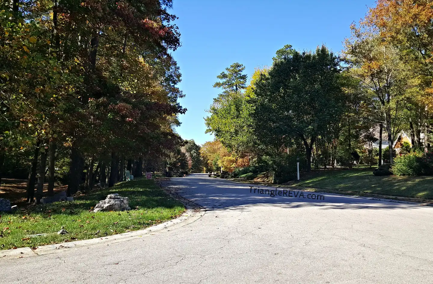
Crenshaw Hall is the cluster of neighborhoods west of U.S. 1 off Durham Road, 1.2 miles from Exit 125 and zoned mostly for Wake Forest High. ZIP 27587.
Last checked Oct. 12, 2026. Sources: OpenStreetMap neighborhood and town boundaries, the Wake County Public School System’s current base attendance areas, the N.C. Department of Public Instruction’s 2025-26 accountability data, the Town of Wake Forest’s park pages and Zillow Research.
Crenshaw Hall is the group of neighborhoods on the west side of U.S. 1, north and south of Durham Road (N.C. 98 Business). OpenStreetMap names Crenshaw Hall, Crenshaw Hall Plantation and Crenshaw Manor there, with Prestwicke, Thompson Mill, Tarlton Park and St. Ives beside them. It is close to the Exit 125 shopping centers and has a small town park of its own.
What this means for you
- Zoned high school: Wake Forest High for 90% of points, Wakefield High for 10%. Check an address with the district’s base school lookup.
- Home value: $508,282 in ZIP code 27587 in August 2026, according to the Zillow Home Value Index.
- Nearest U.S. 1 exit: Exit 125, N.C. 98 Business (Durham Road), about 1.2 miles by road.
Part of our Wake Forest neighborhoods guide.
Where it is
We defined the area by the seven neighborhoods named above as they are mapped on OpenStreetMap. About 75% of the points we checked in them were inside the town limits on OpenStreetMap’s town boundary: Crenshaw Hall, Crenshaw Hall Plantation and Crenshaw Manor almost entirely, Thompson Mill and Tarlton Park only in part. The Census Bureau’s geocoder places the middle of Crenshaw Hall inside the Town of Wake Forest. The area is in ZIP code 27587.
Check a lot on Wake County’s iMAPS or the town’s corporate limits map (PDF) before you rely on town services. Homes outside the limits do not pay the town’s property tax; see our property tax guide.
Schools
We checked 101 points across the area against the Wake County Public School System’s current base attendance areas.
| Level | School | Share of points | At grade level, 2025-26 | Growth |
|---|---|---|---|---|
| Elementary | Forest Pines Drive Elementary | 53% | 54.3% | Exceeded |
| Elementary | Richland Creek Elementary | 46% | 73.4% | Met |
| Middle | Wake Forest Middle | 90% | 52.5% | Not met |
| Middle | Wakefield Middle | 10% | 73.3% | Met |
| High | Wake Forest High | 90% | 66.5% | Exceeded |
| High | Wakefield High | 10% | 63.7% | Exceeded |
One point was zoned for North Forest Pines Elementary. “At grade level” is the share of state tests at grade level or above in the state’s 2025-26 accountability data; “growth” is whether students gained as much as the state expects in a year. North Wake College and Career Academy, a district high school that students apply to, is on the area’s edge at 931 Durham Road in the federal school directory. Check an address in the base school lookup. More in our schools guide.
Home values
The Zillow Home Value Index for ZIP code 27587, which covers all of Wake Forest, was $508,282 in August 2026, down 0.8% from $512,457 in August 2025. Zillow’s figure for the town was $507,240. The index is a modeled typical value for the middle third of homes, not a sale price, and it is not specific to Crenshaw Hall. More in our home prices guide.
Parks and trails
- Plummer Park, 965 Jones Wynd, a half-acre park inside Crenshaw Manor with a playground, a picnic shelter and picnic tables, according to its town page.
More in our parks and trails guide.
Getting around
- U.S. 1 (Capital Boulevard): Exit 125, N.C. 98 Business (Durham Road), about 1.2 miles by road, and Exit 124, N.C. 98 (Dr. Calvin Jones Highway), about 2.7 miles. Exit numbers and names are from NCDOT’s interchange inventory.
- Interstate 540: the Capital Boulevard interchange, Exits 16 and 17, about 10 miles.
- Downtown and Town Hall: about 2.8 miles by road.
- Raleigh-Durham International Airport: about 20 miles by road.
- Bus: no fixed bus route serves the area. Go Wake Forest on-demand rides cover addresses inside the town limits, 984-342-2319; the WRX express to Raleigh leaves from downtown.
Distances are measured on the OpenStreetMap road network from the middle of the area; they are distances, not drive times. More in our getting around guide.
Groceries and everyday stores
From OpenStreetMap:
- Supermarkets: Food Lion, Crenshaw Corners Drive, in the Crenshaw Corners center; El Super, Cloverleaf Drive.
- Pharmacy: Walgreens, 941 Durham Road.
- Shopping centers: Crenshaw Corners; Capital Plaza, 11845 Retail Drive.
Frequently asked questions
What high school is Crenshaw Hall in Wake Forest zoned for?
Of 101 points we checked in the Crenshaw Hall area, 90% were zoned for Wake Forest High and 10% for Wakefield High in the district’s current attendance areas.
What elementary school serves Crenshaw Hall?
It splits almost evenly: 53% of the points we checked were zoned for Forest Pines Drive Elementary and 46% for Richland Creek Elementary. Check an address with the district’s base school lookup.
Is there a park in Crenshaw Hall?
Plummer Park, a half-acre town park in Crenshaw Manor with a playground and picnic shelter, is inside the area, according to the town.
How far is Crenshaw Hall from U.S. 1?
U.S. 1 Exit 125, N.C. 98 Business (Durham Road), is about 1.2 miles by road from the middle of the area.
Have your say