Wake Forest has more than 20 miles of greenways. Joyner Park's five loops, the Smith Creek link to the 33-mile Neuse River trail, and where to park.
Last checked Oct. 12, 2026. Distances, surfaces and parking come from the Town of Wake Forest’s greenway pages and its interactive greenways map. Parks and greenways are open dawn to dusk.
Wake Forest has more than 20 miles of greenways. For a long ride, the paved Smith Creek Greenway crosses the Neuse River on a 558-foot bridge and joins the 33-mile Neuse River Greenway Trail; for a stroll, E. Carroll Joyner Park has 3 miles of paved loops. Park facilities and playgrounds are on our separate parks and trails guide.
Who to call
- Greenway questions: Wake Forest Parks, Recreation and Cultural Resources, 919-435-9560
- Closures: the town’s closures and repairs page
- Emergencies on a trail: 911
Every town trail at a glance
| Trail | Length | Surface | Start and parking |
|---|---|---|---|
| Smith Creek Greenway | 1.15 miles, plus the 33-mile Neuse River link | Paved, 10 feet wide | Burlington Mills Road; park at WRAL Soccer Park, 7700 Perry Creek Road |
| E. Carroll Joyner Park trails | 3 miles in five loops | Paved | 701 Harris Road; lots and restrooms in the park |
| Dunn Creek Greenway | 1 mile | Paved and boardwalk | Smith Creek Soccer Center, 690 Heritage Lake Road |
| Sanford Creek at Heritage South | 0.85 mile | Asphalt, concrete, boardwalk | Sanford Creek Avenue cul-de-sac, off Marshall Farm Road |
| Wake Forest Reservoir soft trail | 1.6 miles one way | Natural surface | Gravel lot off Traditions Grande Boulevard near Wait Avenue |
| H.L. Miller Park | About 0.5 mile loop | Paved, 5 feet wide | 401 Elm Ave.; parking on Elm Avenue |
| Richland Creek, Olde Mill Stream section | 0.35 mile | Paved | Cottage at Olde Mill Stream, 901 Barnford Mill Road |
| Kiwanis Park | About 0.25 mile | Paved | 400 E. Holding Ave., library lot |
| Flaherty Park | 0.25 mile | Paved | Flaherty Park, 1226 N. White St. |
| Tyler Run Park | 0.12 mile | Paved | 830 Pineview Drive |
The Heritage High soft trail is permanently closed, the town says.
Smith Creek Greenway and the Neuse River
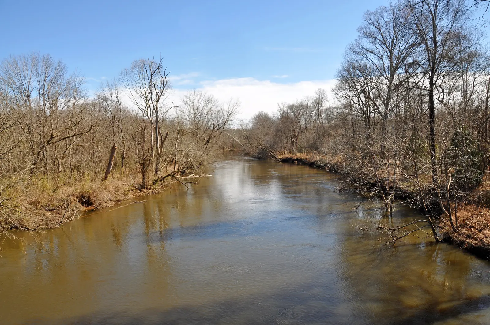
The town’s longest connection runs south from Burlington Mills Road along Smith Creek, past the Caddell Woods and Moss Creek neighborhoods, then crosses the Neuse River on a 558-foot pedestrian bridge the town paid $1.4 million for in 2011-12. On the far side it joins Raleigh’s Neuse River Greenway Trail, 33 miles one way, according to the town’s trail page. The trail is partly shaded; watch for boaters from the bridge.
Parking: WRAL Soccer Park, 7700 Perry Creek Road, or Horseshoe Farm Nature Preserve, 2900 Horse Shoe Farm Road, reaching Smith Creek along the Neuse River Greenway.
Joyner Park loops
E. Carroll Joyner Park, 701 Harris Road, has 3 miles of paved trails for walking, biking and in-line skating, marked as five loops on the town’s Joyner Park trails page:
| Loop | Length | What you see |
|---|---|---|
| Garden Loop (flower) | 0.5 mile | Landscaped center, pecan grove, formal gardens |
| Field and Garden Loop (donkey) | 1 mile | The park’s high point, with a view of Binkley Chapel’s spire on clear days |
| East Meadow Loop (deer) | 1.4 miles | The pond dam and a Richland Creek tributary |
| West Meadow Loop (bird) | 1.6 miles | The stone wall, farm buildings and mixed forest |
| Farm Loop (chicken) | 2.2 miles | The whole perimeter of the park |
The town also posts a trail map and brochure. Kids can follow the park’s Kids in Parks TRACK Trail brochures.
Wake Forest Reservoir
The only natural-surface trail on the list runs 1.6 miles one way (3.2 miles round trip) up the west side of the reservoir from the boat ramp to Oak Grove Church Road. Allow 2 to 3.5 hours. Boy Scout Troop 5 and other volunteers built much of it in 2012-13. Do not cross on the spillway, and the town has not approved any trails on the east side, its reservoir trail page warns. The lake is open to paddle and electric boats.
Short walks near downtown
- H.L. Miller Park, 401 Elm Ave.: a half-mile paved loop under mature hardwoods beside Middle Branch, with footbridges, a few blocks from downtown and behind Town Hall.
- Kiwanis Park greenway, behind the library at 400 E. Holding Ave.: a quarter mile connecting to sidewalks on South Franklin and South White streets.
- Flaherty Park trail: a quarter mile that crosses the dam of the park’s fishing pond.
Trail rules
From the town’s park rules:
- 10 mph speed limit on trails.
- Riders and skaters under 16 must wear a helmet.
- Keep right except to pass; bikes and skaters yield to walkers.
- Dogs must be leashed; see our dog-friendly guide.
- No motorized vehicles; parks open dawn to dusk.
The town’s Adopt-a-Trail program lets volunteers clean up and improve greenways; sign up here.
Related: free things to do, kids’ activities and getting around Wake Forest.
Frequently asked questions
How many miles of greenway does Wake Forest have?
More than 20 miles, according to the Town of Wake Forest. The first greenway was built in 2003, and more are added every year.
Where can I bike from Wake Forest to Raleigh?
Take the paved Smith Creek Greenway from Burlington Mills Road south across a 558-foot bridge over the Neuse River onto the Neuse River Greenway Trail, which runs 33 miles one way.
How long are the trails at Joyner Park?
E. Carroll Joyner Park, 701 Harris Road, has 3 miles of paved trails in five marked loops, from the half-mile Garden Loop to the 2.2-mile Farm Loop around the edge of the park.
Where do I park for the Smith Creek Greenway?
The town lists parking at WRAL Soccer Park, 7700 Perry Creek Road, and at Horseshoe Farm Nature Preserve, 2900 Horse Shoe Farm Road, reaching Smith Creek via the Neuse River Greenway.
Do you need a helmet on Wake Forest greenways?
Riders and skaters under 16 must wear a helmet on town trails, and there is a 10 mph speed limit. Motorized vehicles are not permitted in town parks.
Have your say